EYEGIS has been developed to help address the key challenges faced by infrastructure asset stakeholders today, including climate change, ageing infrastructure, heavier use and an increasing susceptibility to geohazards.
FEATURES
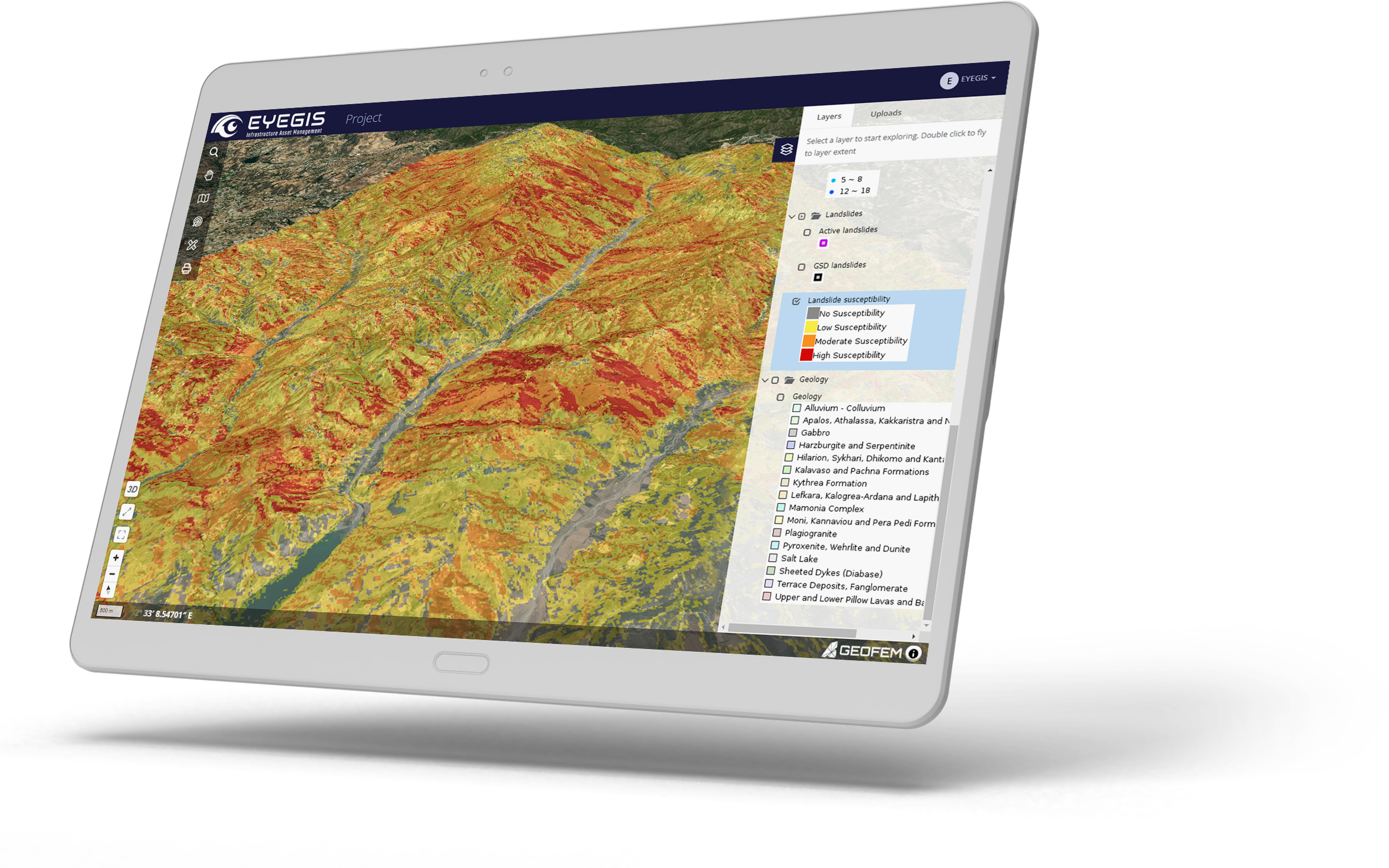
EYEGIS® is secure, fast, intuitive and fully cloud based. It can be accessed from anywhere at any time – all you need is your login details and an internet connection.
It’s fully customisable and requires no GIS knowledge to use. As well as viewing data, you can plot graphs, download data and upload your own files to use it as a complete asset management tool.
01
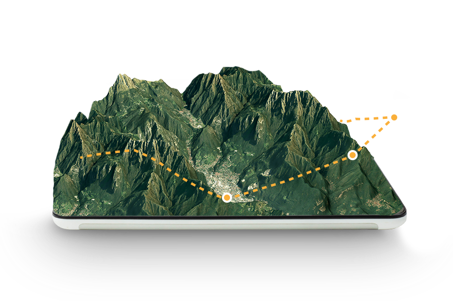
3D View
Visualize your data in 2D and 3D.
02
Profile
Plot sections showing velocity, soil moisture or elevation.
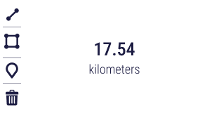
03
Measuring Tools
Measure distances and areas on the map.
04
Point identifier
Select points to plot displacement and download data.
05
Uploads/downloads
Upload your own files and share them across teams.
Protect your infrastructure assets against the common geohazards effortlessly with EYEGIS.
EYEGIS is developed by Geofem, the experts in geohazards, satellite data and GIS for the infrastructure, construction, mining, energy and insurance sectors.